
Walk a Methuen Street by Address
Use a single known Methuen address as the starting point. The public records answer different questions: the assessor ties a parcel to an assessed owner in a fiscal snapshot, the Registry records the legal instrument, and an older directory may place a listed household at an address in a particular year. A present owner, a tax mailing recipient, and an occupant are not automatically the same person. Keep those roles separate from the first search onward.
- Search the address in Methuen Patriot Properties. Record the situs, parcel ID or MBL, owner name as displayed, fiscal-year label, book/page reference, and any mailing or C/O line.
- Open the City’s GIS launch route and the MVPC MiMap viewer to orient the parcel among the street and nearby lots. Save the map date and visible parcel identifier.
- Use the Northern Essex Registry book/page route first. Read the deed image, then record parties, instrument type, recording date, legal description, plan reference, and any earlier book/page.
- For an older household question, ask Nevins Memorial Library or the State Library for the precise street and year. A directory entry can support a dated occupant lead, but it is not a current occupancy record.
- Use voter material only through its documented routes. The state status portal is for an individual’s own verification, while a possible municipal request remains subject to local procedure and protected-record exclusions.
That sequence follows the record type rather than assuming that a street name supplies a complete resident roll. When an address is narrowed to a parcel, the full address chain remains more useful than a broad ZIP or precinct search.
Note: Record the fiscal year and access date beside each result because the public assessor view and recorded deed can reflect different dates.
Search the Methuen Street Directory at Patriot
Methuen Patriot Properties is the public assessment entry point. Its inspected result layout displays Parcel ID, Location, Owner, Built/Type, Total Value, Beds/Baths, Lot Size or Finished Area, LUC, Neighborhood, Sale Date, Sale Price, and Book Page. The City’s Assessing Department maintains the parcel descriptions and links the property search from its public information. Treat these results as a tax-property association at the displayed fiscal date, not as a real-time household list.
The source view below is the Patriot assessor search used to begin a Methuen address-record trail.
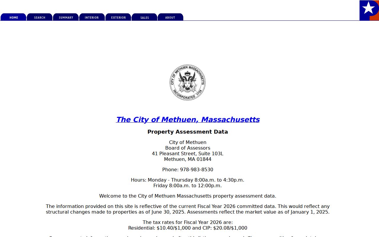
Use the returned parcel ID and Book Page as bridges to the map and deed records, while preserving the fiscal-year notice shown with the result.
| Field | Type | Required | Options / notes |
|---|---|---|---|
| Search by location/address | text/dropdown | optional/primary | Street/location; use street name and number; exact live labels require rendered portal. |
| Owner | text | optional | Owner-name search; entity/trust names may be indexed in uppercase or with multiple parties. |
| Parcel ID / MBL | text | optional | Methuen examples have formats such as 612-123-6-1, 714-17-10, 1010-79-8; enter exact punctuation where portal expects it. |
| Neighborhood | dropdown/field | optional | Result records expose NHood; full option list not located. |
| Property type/LUC | dropdown/field | optional | Residential, apartment, commercial and other land-use codes; full options not located. |
| ZIP | field/filter | [not verified] | MassGIS parcel dataset contains ZIP field; Patriot rendered ZIP filter not confirmed. |
| Results sorting | column headings | Not applicable | Parcel ID, location, owner, built, value, beds/baths, lot/finished area, LUC, neighborhood, sale/date/book-page. |
| Detail actions | link/button | Not applicable | Click parcel ID; property card/detail and map/sketch links where available; print/download behavior [not rendered]. |
Separate Methuen Owners from Occupants
A situs address is the physical parcel location. A mailing or C/O address is where an owner receives tax or deed correspondence. The latter can be outside Methuen, and a trust, estate, company, agent, or co-owner may appear in those fields. Even a homestead or exemption code is only a clue, because public cards do not expose every application detail and the research does not support treating an exemption as proof of present residence.
- Parcel
- A defined piece of land used in assessment and mapping records, normally reached through its parcel ID or MBL.
- Situs address
- The physical location of that parcel, distinct from an owner’s mailing or C/O address.
- Plat or plan
- A recorded map or plan reference that helps identify lots and land relationships in a deed or Registry record.
- Criss-cross directory
- A reverse directory arranged by address rather than name, if a repository actually holds the needed volume.
Use the property card to form a question, then verify the legal connection in the Registry image. That distinction keeps a street directory search from turning a tax field into an unsupported statement about occupancy.
Methuen Street Records Searchable by Address
Several Methuen address-keyed sources can be compared, but none has the same scope. The City mapping viewer is useful for location and adjoining parcels, yet the City warns that its data may not be timely, valid, reliable, or accurate for every use. The Registry offers the legal land record, while library materials provide dated historical context. The table makes the limits visible before a street directory search moves from one source to another.
| Address record set | Keeper | What it shows | Access and use |
|---|---|---|---|
| Current assessment card | Methuen Assessing / Patriot | Parcel, situs, owner, value, physical characteristics, sale/book-page fields | Online; fiscal snapshot; confirm with deed. |
| Parcel map/layers | Methuen GIS / MVPC | Parcel shape, adjacency, mapped roads and layers | Online viewer; orientation only, city reliability warning. |
| Deed, mortgage, discharge, plan | Northern Essex Registry | Legal parties, recording dates, land description, prior references | Online index/images; certified copy and recording fees apply. |
| Directory street entry | Nevins / State Library | Name, occupation or household/address clue by year, depending on volume | Library/reference access; exact Methuen reverse runs not confirmed. |
| Newspaper, obituary, yearbook | Nevins and digital collections | Public community, school, death, civic and address clues | Search/read; OCR and coverage limitations. |
| Voter file | Methuen City Clerk / state portal | Registration address/status and election fields subject to access rules | Individual state verification or municipal request; confidential categories excluded. |
| Precinct map/list | Methuen City Clerk | East/Central/West precinct grouping | Public PDF and election office; not a street-by-street resident list. |
The same address can therefore produce a parcel, a legal instrument, a historical listing, or election-administration context. A search miss in one does not erase another record, and a match in one does not replace the others.
Follow Methuen Streets to Northern Essex
Northern Essex Registry of Deeds is the land-record district for Methuen, not the Southern Essex Registry in Salem. The Northern District’s record trail begins in September 1869. For a Methuen property question, start with the assessor’s book/page, open the Registry image, and check the prior deed reference. If that reference is missing, use the separate alphabetical grantor and grantee index books. A deed follows legal land and parties, not every household member.
The Registry’s home page identifies the Methuen district and its research access route.
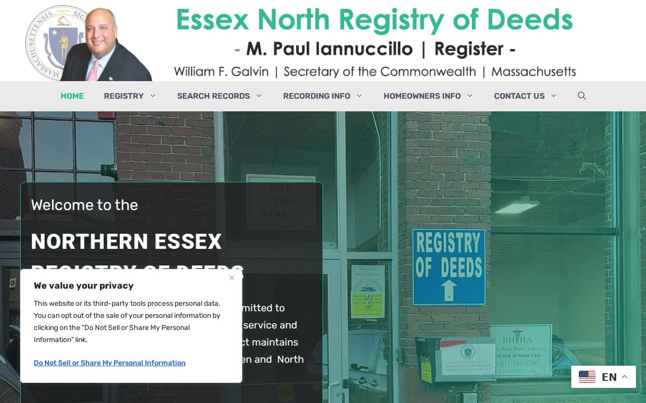
Its Lawrence office also remains the counter fallback for difficult names, plans, older books, and title questions when an online image is missing.
The Registry’s search instructions document recorded-land name, street/address, book/page, registered-land, plan, document-type, date, and older-index routes. Street mode calls for the street name separately, and a classic search may work better when a suffix such as Avenue or Street is omitted. Search results remain index leads until the image confirms the names and land description.
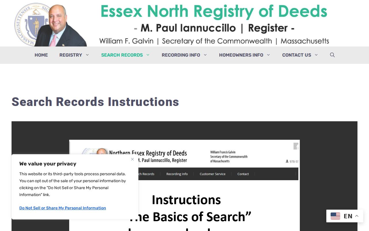
Reading the actual instrument is how a searcher distinguishes a deed from a mortgage, discharge, plan, or other filing that should not be treated as a transfer of occupancy.
The Methuen Street Record Divide
The September 1869 boundary is a practical historic limit, not a conclusion that older Methuen land has disappeared. Northern Essex was created in 1869 and its search route covers the district’s land transactions from that point forward. A parcel with an earlier history needs the older Essex County books in Salem and, where useful, archival material. Preserve the original street wording and Book and Leaf or other prior reference when crossing that boundary.
Digital access has its own limit. The Registry reports that close to 90 percent of documents and indexes have been digitally imaged, so an old online miss may lead to the research library, counter, or customer-service path instead of proving there is no record. The Registry advertises free ordinary deed copies through the site or customer service, while its recording schedule is separate. Its listed deed recording fee is $155, plan fee is $105 per sheet, and certified copies are $1 per page.
The posted Northern Essex recording-fee schedule distinguishes filing costs from normal research access.
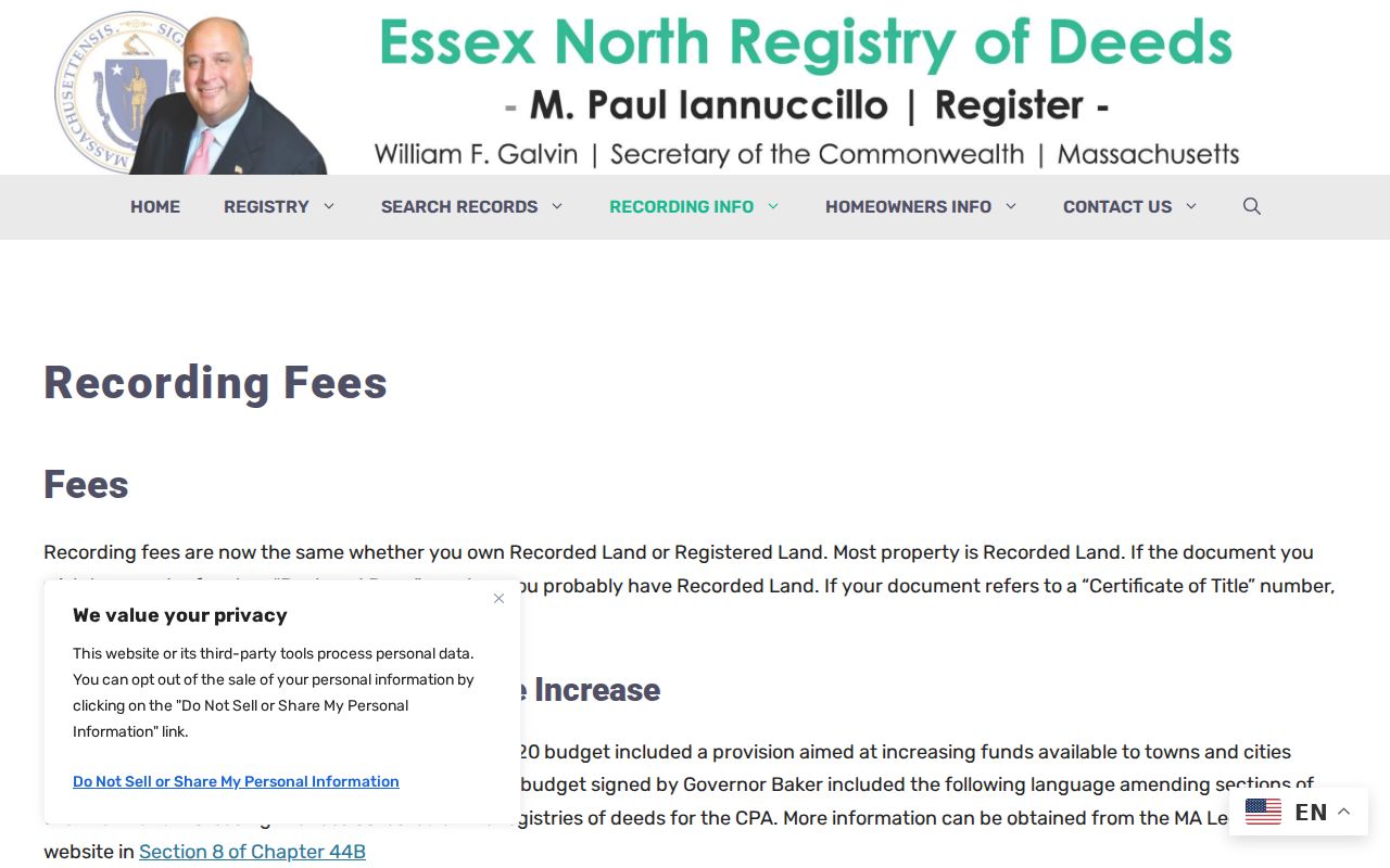
The fee page is useful for reading the difference between a recording fee and a request for a record already available through ordinary Registry access.
Check Older Methuen Street Listings
Nevins Memorial Library holds many city directories, newspapers, microfilm, digital scans, and yearbooks, but it does not publish a complete shelf list or confirm a reverse directory for each address. The Massachusetts State Library’s published Methuen directory run includes selected years from 1860-61 through 1983, with several entries marked by an asterisk whose meaning should be preserved rather than guessed. Ask the reference desk for a specific street and year. The request is more reliable than assuming a standard directory contains every address.
A city directory entry offers a dated listing. A deed confirms a land transaction. Newspapers can add public event or relationship context, and their OCR can miss names. For a fuller historical household trail, the specialized holdings belong in the Methuen city directories collection, rather than being reconstructed from one street search.
Note: Keep the original spelling from an older directory beside the modern address, since a normalized search string can conceal the match.
Handle Methuen Street Number Gaps
Older Methuen records may use “town of Methuen,” rural owner references, or a road description instead of today’s house number. Compare the address with its parcel ID, legal description, plan, owner, and nearby parcels. The public research did not locate a Methuen former-street-name or renumbering schedule. The regional preservation method discusses number changes for Andover, but those dates must not be transferred to Methuen.
USPS ZIP Code Lookup can validate a complete current delivery address, including its street, unit, city, state, and ZIP. It does not prove occupancy or create an official Methuen boundary line.
MiMap can help orient a parcel, though its interactive controls were not captured in the research. Do not claim that a particular button, buffer, select tool, or export function is available. The City’s documented warning still applies: use map information as an aid, then verify the parcel against the assessor card, plan, and Registry instrument.
Methuen Street Directory Limits
A public parcel record cannot identify every renter, guest, household member, or delivery recipient. Utility customer lists, private forwarding information, most motor-vehicle address data, and protected voter addresses are not an open street directory. A court or police record may mention a location without proving residence. Similarly, a tax mailing address or a seller’s deed address tells a limited record-specific fact, not where a person lives now.
Lawful use. Use Methuen street and property records for personal, lawful research and verification. Do not use public records to stalk, harass, intimidate, or harm anyone; Massachusetts treats stalking under M.G.L. c.265, §43 as a criminal matter.
Massachusetts voter status is intentionally individual-only: it requires first name, last name, date of birth, residential ZIP, and an agreement. The local public-file route can have different fields and access limits, while confidential registrations, minors, phone numbers, and email are excluded from ordinary disclosure. A missing result should remain “not located” or “restricted,” never a claim about someone’s whereabouts.
Keep a Methuen Street Record Worksheet
A compact worksheet prevents an address trail from blending sources that mean different things. Start with the exact street spelling and house number, then add the parcel ID, fiscal year, owner name exactly as displayed, mailing or C/O line, Registry book/page, map date, adjacent parcel IDs, and alternate historical spellings. For each older hit, note whether it identifies an owner, occupant, directory subscriber, voter, deed party, or merely a person mentioned in a publication.
Keep “not found,” “not public,” and “not searched” in separate columns. That small distinction matters when a directory year is absent, a record is protected, an image requires a counter visit, or a historical address uses a different form. It also leaves a clear correction route: assessment issues go to Methuen Assessing, Registry index or image questions go to Northern Essex, and municipal records not online can be requested from the relevant custodian under the Massachusetts Public Records Law.